Table of Contents
How to use the o-map
In the following article you got some tipps how to use the o-map in a smart way. You find the o-map here.
Change between ISOM and ISSprOM
Show/Hide citynames
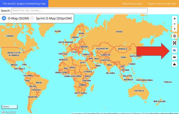
With this function you can choose if you want that the city labels, country labels and boundaries are displayed or not.
Use the button with the buildings on it on the right side to enable this function.

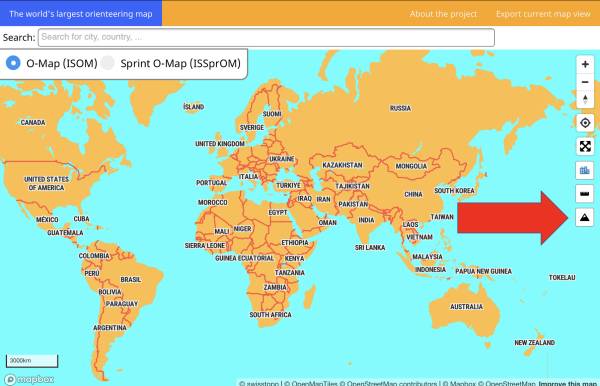
Enable 3D-Mode
Use the button on the right side with the mountains on it to enable the 3D-Mode. The 3D-Mode works with a hillshade layer to make the terrain better readable.


