
O-Map Export Tutorial
Tutorial mady by Nuri DAGDELEN & Cem GUNDOGDU
Here you will find a tutorial on how to make the most of O-Map export. Click here to get to the export.
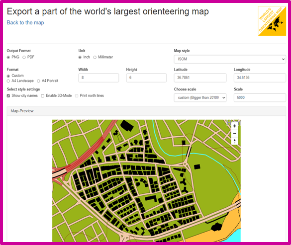
With O-EDITOR, you can easily create orienteering maps for the region you want in PDF or PNG format.
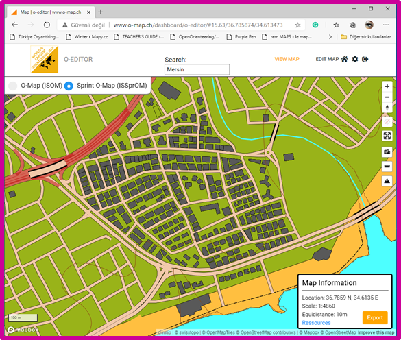
In this section, you will see the coordinates of the region, Scale, and Contour lineinformation. Once the desired region has been set, you will need to move to the next stage of the O-EDITOR application by clicking ON THE EXPORT command on the screen.
Welcome to the world's largest orienteering map. In this section, we will make adjustments that can easily prepare the orienteering map of an area you have previously identified or would currently set.
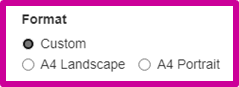
This section determines the format in which the orientation map will be exported. You must choose the one that fits your intended use.
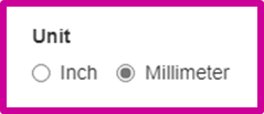
The unit of measurement of the orienteering map to be exported is determined.
Which paper size to be used and the choice of paper rotation isis adjusted fort he export process.
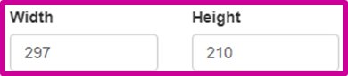
The horizontal and vertical size of the page can be set according to specific requirements. In this case, the paper size is set in this section.

Select style settings. It determines which of the Zone names, 3D buildings, and North Line options will be available in the map to be prepared.
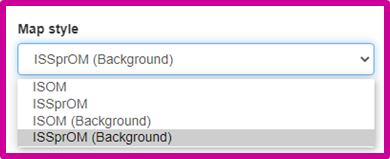
Setting a map style. It allows the map to be prepared according to the intended use (city, field) and according to the required site.
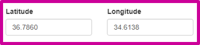
Provides the location of the map in latitude and longitude.
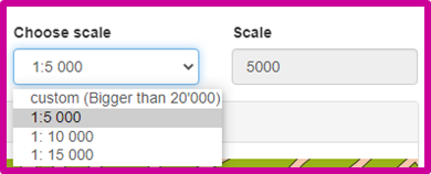
The map scale can be selected from existing ones or set to other scales.
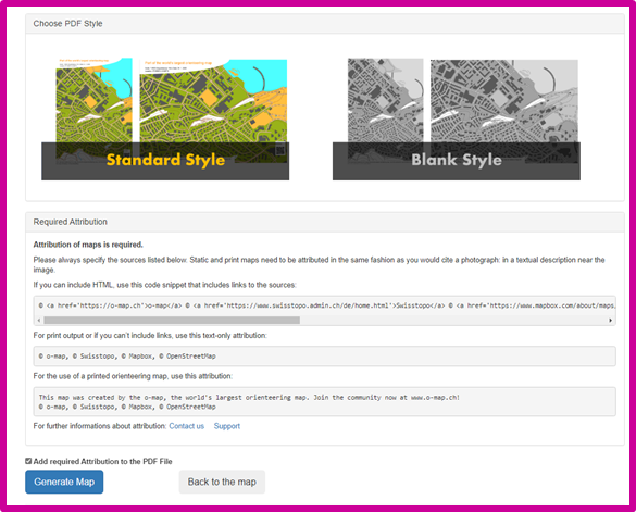
With the Generate Map command, you can download the map in pdf / png format of the area we have determined.
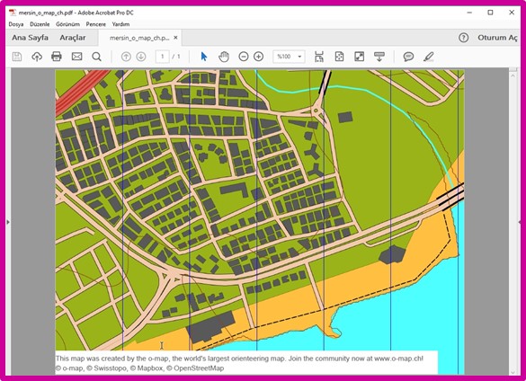
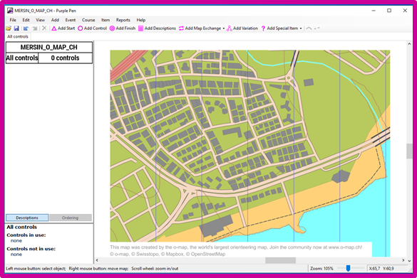
You can use the downloaded PDF / PNG format map to create a map background or track.
Do you have any questions? Then contact us here.